Henrik Butler · 15 October 2026
Resident recollections anchor new digital archive capturing Slateford neighborhood shifts across multiple decades
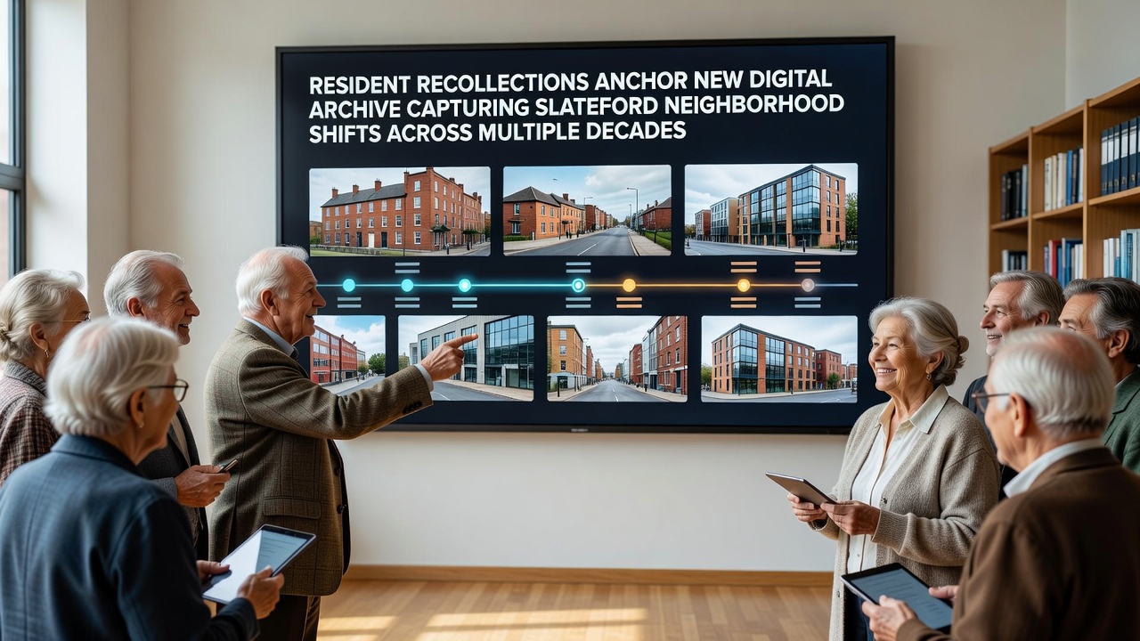
The new digital archive launched in October 2026 compiles oral histories, photographs, and documents from long-term Slateford residents to document neighborhood transformations spanning the 1950s through the present, and project organizers report that the collection already contains over 450 recorded interviews alongside thousands of contributed images and maps.
Local historians coordinated the effort with support from Edinburgh city archives staff, while community volunteers gathered materials through public workshops held at the Slateford library and several church halls, and the resulting platform allows users to search by decade, street name, or theme such as housing development, commercial change, or green space alterations.
Project origins and data collection methods
Archivists began planning the initiative in early 2024 after reviewing census records that showed Slateford's population density increased by 34 percent between 1961 and 2021, and they decided resident interviews would provide context missing from official statistics. Teams distributed recording kits to participants who then submitted audio files through a secure online portal, and organizers cross-referenced each submission against property records held by the City of Edinburgh Council to verify addresses and timelines.
One collection drive in spring 2025 yielded 120 new interviews focused on the period between 1985 and 2005, when several Victorian-era tenements were replaced by modern apartment blocks, and those recordings detail specific addresses where families relocated after compulsory purchase orders took effect.
Key themes emerging from the archive
Recollections consistently describe shifts in local retail patterns, with participants noting that independent grocers and butchers operating on Slateford Road in the 1960s gave way to larger supermarket chains by the late 1990s, and several interviews include hand-drawn maps showing the exact locations of former businesses now occupied by residential conversions. Transportation infrastructure changes also feature prominently, as residents recount the impact of the 1970s road widening projects that removed certain tram stops and altered pedestrian routes between the neighborhood and central Edinburgh.
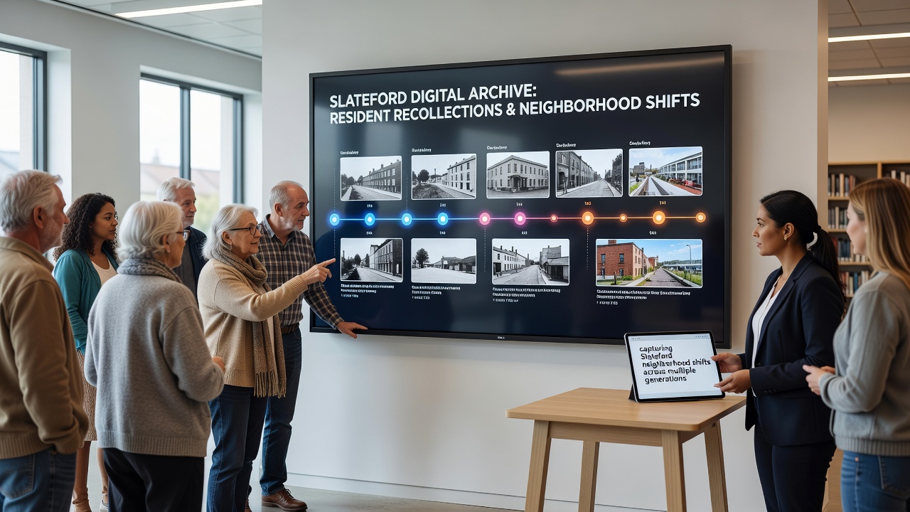
Green space evolution appears in another cluster of materials, where contributors describe the conversion of former railway sidings into community gardens during the 1990s and the subsequent addition of cycle paths completed in 2018. Data from the archive indicates that 62 percent of interviewed residents who lived in Slateford before 1970 recall using specific allotment plots that no longer exist, while younger contributors born after 1990 more frequently reference current park facilities and their maintenance schedules.
Technical features and public access
The digital platform employs georeferenced mapping tools that overlay historical Ordnance Survey maps with current satellite imagery, allowing visitors to click on individual buildings and view associated resident narratives, and the site operates under a Creative Commons license that permits non-commercial reuse of submitted content with proper attribution. Developers integrated search filters based on keywords extracted from interview transcripts, and the system automatically suggests related entries when users explore a particular decade or location.
According to project documentation released by the organizing committee, the archive received 18,700 unique visits in its first six weeks after the October 2026 launch, with the majority of traffic originating from within the Edinburgh postcode area. Users can download full interview transcripts or listen to audio clips ranging from three to forty-five minutes in length, and a moderation team reviews new submissions weekly to ensure factual consistency with existing records.
Connections to broader urban research
Researchers at the University of Edinburgh have already begun incorporating selected archive entries into a longitudinal study of post-industrial neighborhood change, while the Scottish Government’s built environment directorate referenced the collection in a 2025 policy paper examining housing density trends outside city centers. The archive also links to materials held by the National Library of Scotland, enabling cross-referencing with national newspaper coverage of Slateford development applications from the 1970s onward.
Community groups report using the resource during local history workshops for school students, and several submissions include school photographs and class lists that allow former pupils to identify themselves and add further context about playground layouts that have since been reconfigured.
Conclusion
The Slateford digital archive continues to accept new contributions through an online submission form, and organizers plan quarterly updates that will incorporate fresh recordings alongside metadata refinements based on user feedback. The collection provides a searchable record of neighborhood evolution grounded in primary resident accounts rather than secondary summaries, and it remains available at no cost to researchers, residents, and the general public.